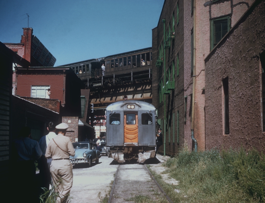
LIRR railfan special passes under the present day M line on Myrtle Avenue on September 9th, 1956. Photo by Bill Rugen (via Steve Lynch’s LIRR history site, reposted w/permission)
Unless you ask a real old timer, most people in Ridgewood have no idea a railroad ran right through the middle of the neighborhood.
The tracks through Ridgewood were part of the Glendale and East River Railroad, which is covered in Part One of this series.
Last time, we left off at ‘South Side Crossing’ – the intersection of Varick Avenue and Randolph street. Here, the former Glendale & East River Railroad ‘narrow gauge’ track ended, and what became the LIRR Evergreen Branch began. But before we follow the tracks again, we have to go deep into history, and dig through property records to correct a long standing railroad history myth.
Of Railroads and Time
First, you might ask how these tracks become part of the LIRR? The G&ER was acquired by Austin Corbin in November 1876, and leased to the New York and Manhattan Beach Railroad in 1878. Corbin also owned a controlling interest in the LIRR at the time. The Evergreen Branch was connected at Bushwick to the LIRR’s freight tracks, and at Cooper Junction, to tracks presently shared by CSX & New York and Atlantic Railway (operator of all former LIRR freight traffic on Long Island). The G&ER tracks from South Side Crossing to Cooper Junction were converted to a single standard gauge track. Thus, it was never well suited for passenger train use, and by 1924 it was a freight-only operation. The present day L train, which parallels the route, opened in 1924, providing service directly to Manhattan – something the original G&ER was never designed for.
The Evergreen, named after the nearby Cemetery, didn’t last too long as a complete route. A seven block stretch of track between Starr and Himrod Streets was abandoned in 1939. This section of track appeared to be the longest without any of the 16 original freight customers location on it. Freight trains still operated on either end of the route through their connections at Bushwick and Cooper Junction.
I’ve put together this map, where the blue line shows the entire original G&ER route, and the yellow lines highlight the various years that sections of the Evergreen Branch were abandoned.
In the end, who owned the Evergreen?
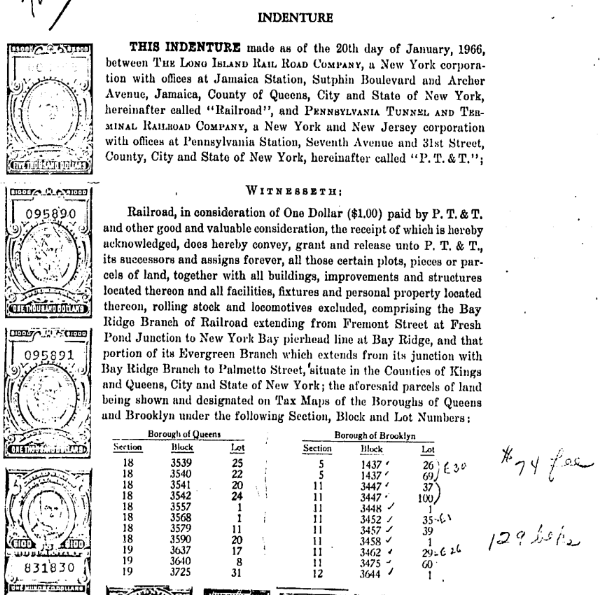
Now, you might think that since the LIRR gained ownership of these tracks very early on, that they remained in the LIRR’s ownership until they closed. The story takes a turn in 1965. New York State bought the bankrupt Long Island Rail Road off the Pennsylvania Railroad. According to wikipedia and other rail history sources, the freight only Bay Ridge and Evergreen branches were left out of this transaction. This is not entirely true. The Cooper Junction end of the Evergreen branch was sold to a company that eventually became part of Conrail in 1966, for one dollar. Here’s a copy of part of the agreement.
A few customers remained at the Bushwick end until at least the 1970s, which always remained owned and operated by the LIRR, as part of their Bushwick branch. Today some of this property still belongs to the MTA – including the triangular lot at Flushing and Stewart Avenues.
Back to the Cooper Junction end of the line, by the 1970s there only seemed to be one customer receiving freight cars irregularly: Tulnoy Lumber, located at Putnam Avenue. They probably didn’t receive more than a dozen or two cars per year. Around 1984, Tulnoy closed their Putnam avenue location. With no customers left on this route, Conrail filed to ‘abandon’ the tracks, and quickly sold each lot between Putnam and the present day freight tracks east of Cooper Avenue. Conrail later sold the Bay Ridge line to the LIRR in 1984. The Evergreen tracks and property were not a part of this transaction.
Conrail later sold the Bay Ridge line to the LIRR in 1984. The Evergreen tracks and property were not a part of this transaction.
Given the timing here, with the LIRR buying the Bay Ridge branch tracks in 1984, it would make sense that rail history buffs believed the LIRR also bought the Evergreen back. It just happens that Tulnoy, the only remaining customer on that route and only reason for it’s existence, closed around the same time. Operationally, it would have made sense for Conrail to sell the Evergreen to the LIRR as part of the 1984 deal, but I suspect Tulnoy had already closed up shop a few months earlier. In terms of real estate, it obviously made way more sense for Conrail to sell the property on the open market, where I’m sure they made some decent money.
The LIRR likely wasn’t even interested in the Evergreen. Without customers and with industry within cities on the decline, it had no real prospects for making money. They bought the Bay Ridge branch because Conrail wanted out. For them, it was a branch without many customers that took their crews (originating up in the Bronx) a few hours to service. Conrail kept their tracks between Fresh Pond (near Cooper Junction) over Hell Gate and into the Bronx because it generated good revenue, with large blocks of cars interchanged with LIRR’s freight operations. For the LIRR, buying the Bay Ridge line was strategic. They could try to leverage it to get more trucks off the road and get more freight moving by rail again. It wasn’t too long after that they improved clearances in the East New York tunnel (just to the south) and acquired their experimental rail bogies.
All of this said, easily being able to comb through NYC’s property records is only a fairly recent thing. With timing this close, and history passed down orally, I can’t begrudge those who believed the LIRR bought and shut down the Evergreen in 1984. The timing was certainly right.
As a random footnote, Tulnoy lumber still has a location in the Bronx, where I’m pretty sure they still receive freight cars (or at least they used to – I last checked around 2006).
Out of the Weeds, onto the streets
With all that history nerding out of the way, let’s get to present day.
Around 1999 and again in 2005, Kevin Walsh over at Forgotten-NY documented the remains of the Evergreen. As you can see in his photos, one of the last railroad crossing signs came down around 2005. Now I pick up the gauntlet here in 2017. As you’ll see, there are many good traces of this route left, though they disappear more and more as the years progress.
Starting from the west end, let’s proceed east.
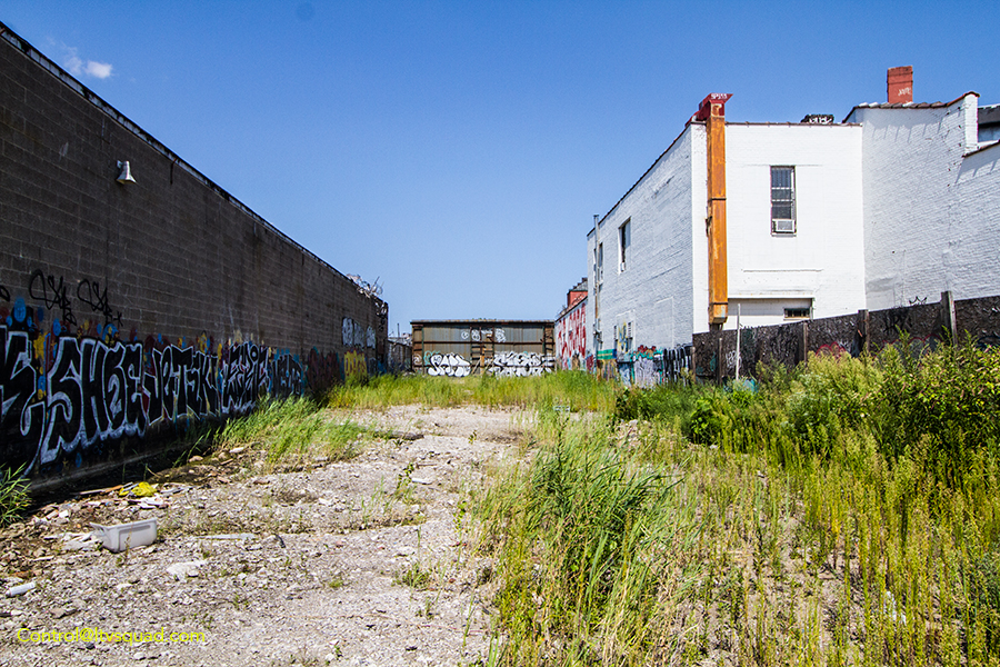
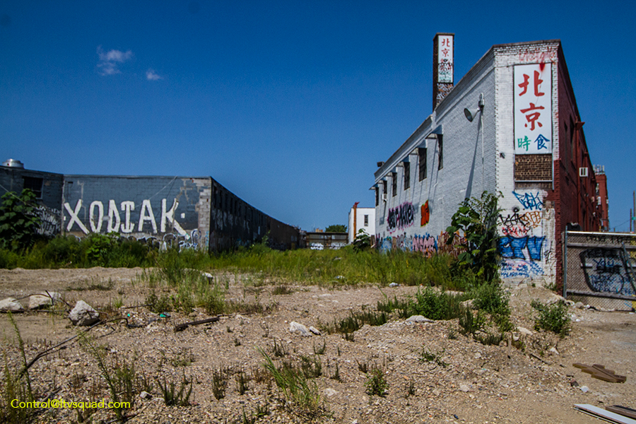
At Varick and Stewart Avenues, one can find a currently empty lot. This lot will likely soon be built upon, but until then – it’s really clear where the tracks ran between the buildings.
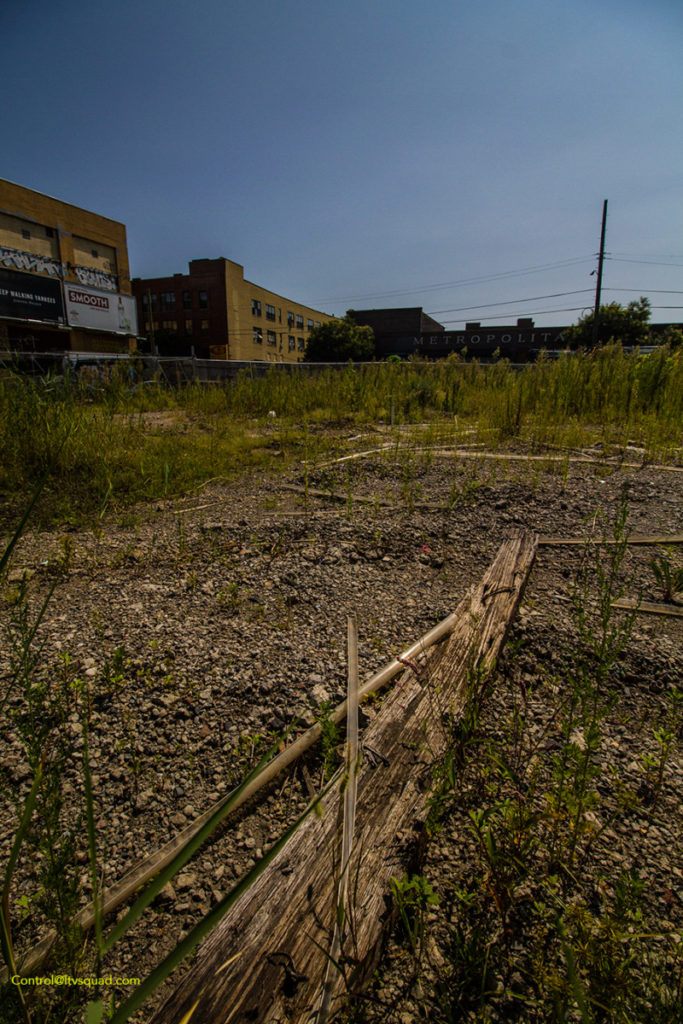
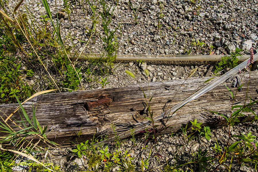
This lot was also the location of Varick Avenue freight yard. I found a single crumbled rail crosstie in this lot.
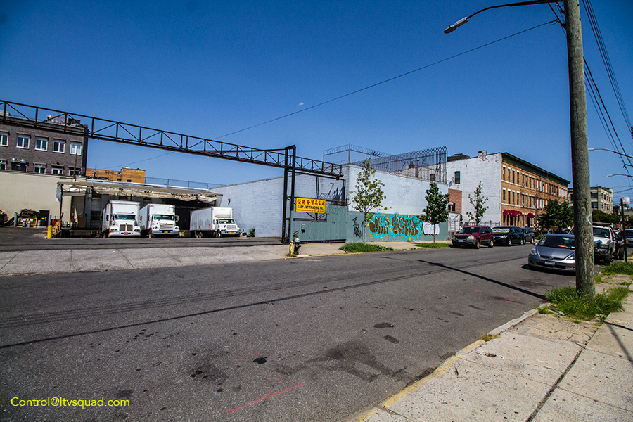
Traces are a bit harder as you get further into the line. Here on Willoughby, you’ll be hard pressed to find much.
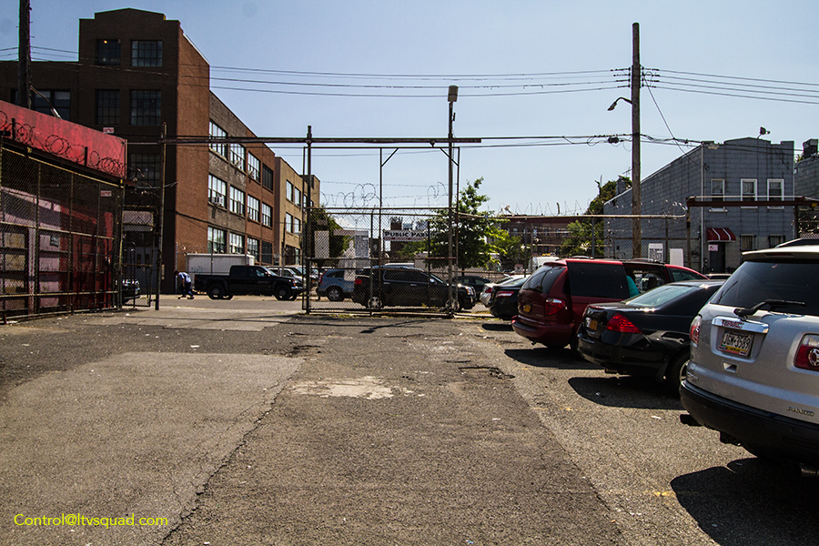
The trail gets a little warmer behind the Key Food on Hart street. Here you can see large parking lots on either side of the street where the tracks once ran. On some streets west of Myrtle, you’ll find similar parking lots along the former right of way.
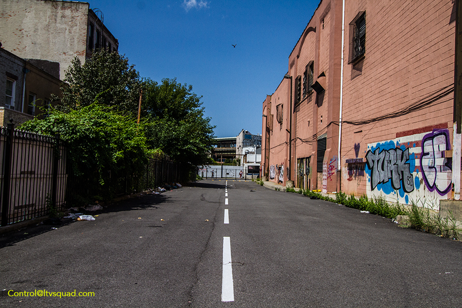
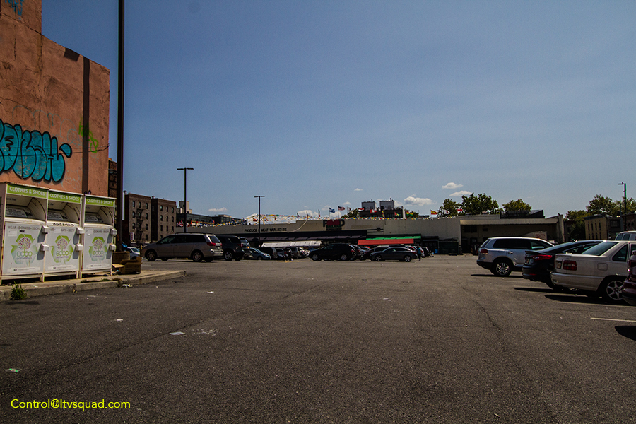
The trail gets hot east of Myrtle. The Food Bazaar parking lot is a dead giveaway. This large lot was the location of Tulnoy lumber, and prior to them, a small yard called ‘Evergreen’.
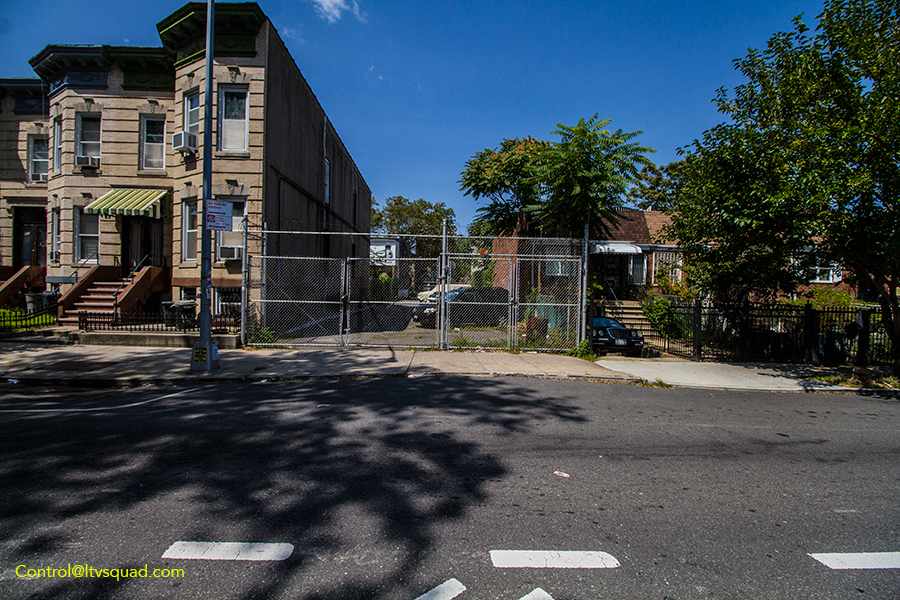
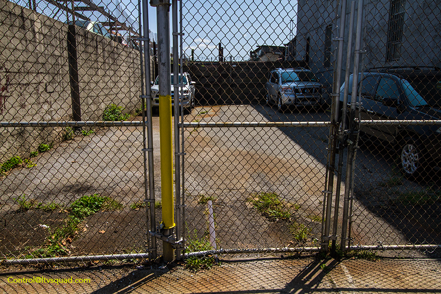
The trail stays strong over a block on Cornelia, with our first bit of track.
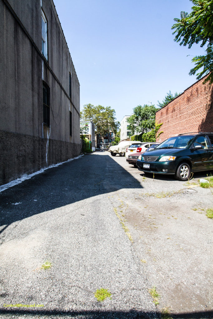
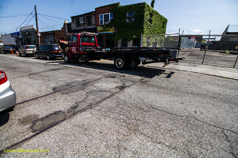
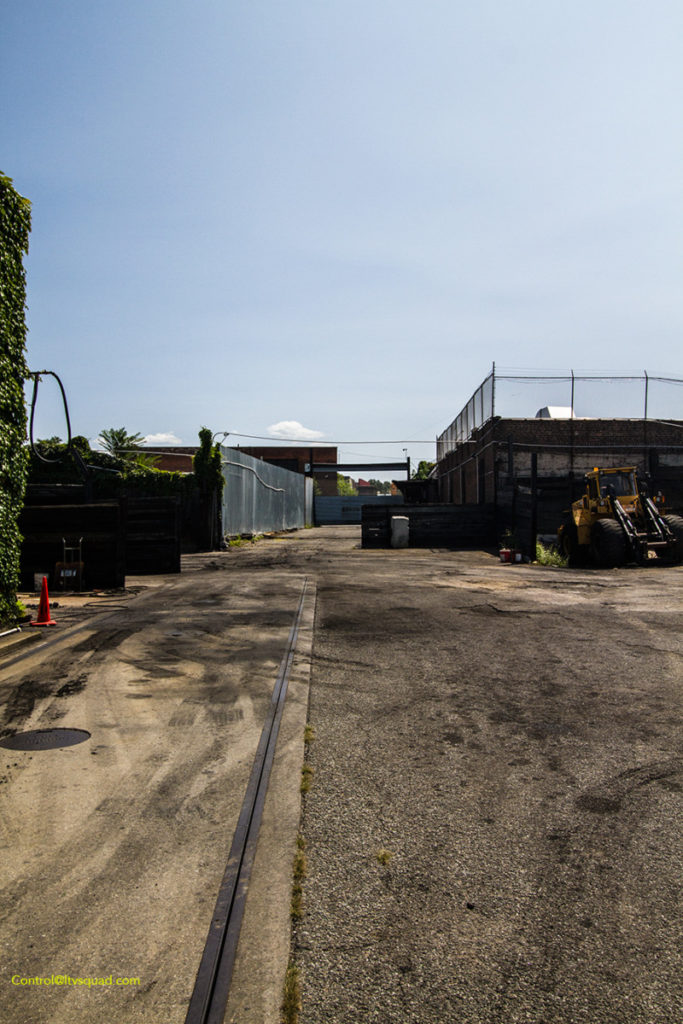
On Hancock st., the full set of tracks are still in the street, with a clear path through the buildings along the right of way.
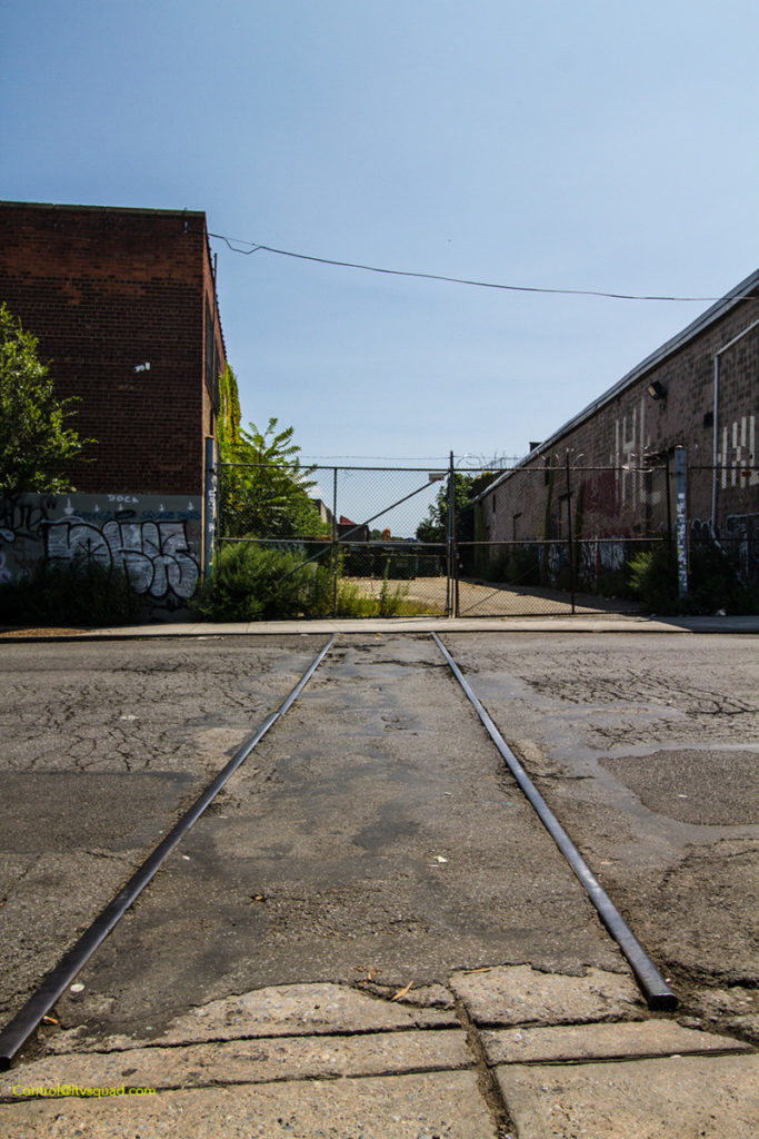
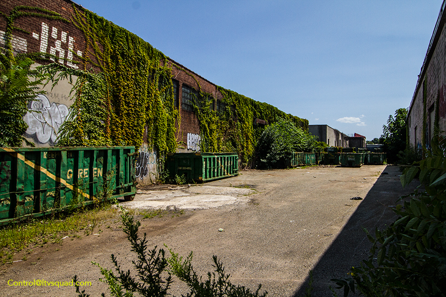
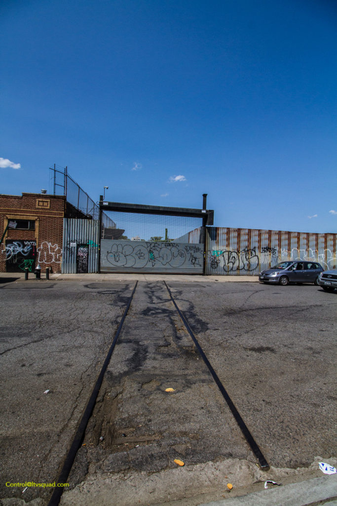
More track at Halsey street.
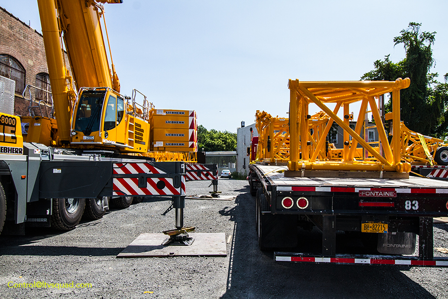
This crane lot east of Decatur shows the path of the tracks.
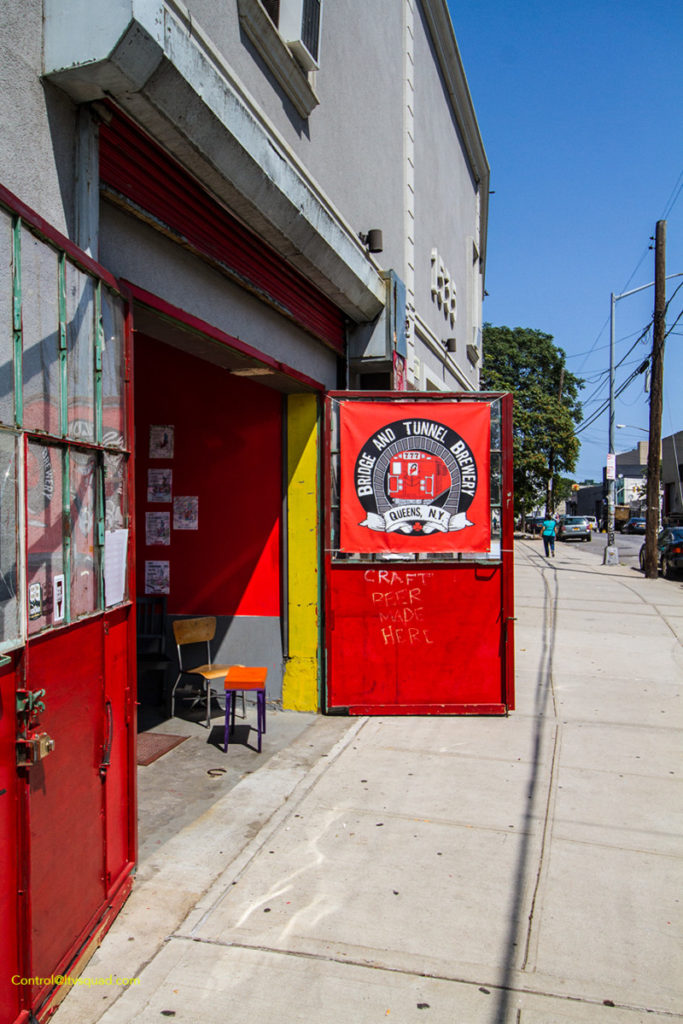
Next to the track at Decatur is this Brewery with a somewhat appropriate logo. (They should make a brew called the Evergreen, if they don’t already).
Looking East across Cooper, the tracks lead up an embankment into the freight yard.
And there you have it. We’ve toured the G&ER, and detailed what’s left of the Evergreen, debunking some minor history blunders along the way.
If you want to see even more of the evergreen – with photos from it’s final days and maps showing former customers, I highly recommend you dip over to Arrt’s archives.
Earlier in this article, I mentioned the L train. When you think about it, this entire route roughly parallels the L train – especially the former Evergreen tracks. One must wonder if the L wasn’t built in part to compete against this route, or prevent it from ever becoming a viable transit route. If this was part of the BMT’s intent, they won handedly as soon as the L line opened, and permanently once the LIRR abandoned a few blocks of the line in 1939. There’s no going back, the Evergreen saw it’s last train long ago.
In another 10, 15 years I suspect there will be far fewer traces of the Evergreen. Maybe some day NYC will take it’s own history seriously, and offer up historic markers for such locations. Until then, we’ve got the internet.
Outstanding sleuthing Joe!! Loving it! Thank you.
Between Himrod Street and Harman Street was the Dannenhoffer Glass Factory which was one of the early Primary Industrial Customers. They used to receive their raw materials via this train route, and used to ship their Products out West across the Country via the route.
Amazing content you guys.
Were the guys at Bridge and Tunnel Brewery aware of the significance of the tracks?
gatdimmit! i was actually right there at kent ave today and didn’t know to look! next time!!
FYI. There use to be a brewery – Trommer’s Evergreen Brewery and Restaurant located across the street from the Bushwick Ave entrance to Evergreen Cemetery at 1632 Bushwick Ave
This is a really great, well-researched article. One minor note: Tulnoy Lumber in the Bronx no longer receives lumber via rail in the current Bronx location. The closest set of tracks nearby is a below-grade, electrified branch of Metro North (Harlem-New Haven Branch, I believe).
any pictures of the evergreen yards from the 1950
Tulnoy Lumber is still getting shipments by rail as of 10/14/18. Marc Glucksman shared a picture on Facebook showing a CSX loco and freight car stuck there in the daylight after a PM derailment.
https://scontent-lga3-1.xx.fbcdn.net/v/t1.0-9/46439109_952050611671690_6959478394127908864_n.jpg?_nc_cat=111&_nc_ht=scontent-lga3-1.xx&oh=4967f816b47faee0422ef73bdedb8893&oe=5C63809A
are there any photo’s of the evergreen yard before the building was put in ?
Well researched and enjoyable. Thanks for hard work!
They used to let us play ball on Tulnoy Lumber back in the late 70’s early 80’s. Sometimes the workers will play with us. I remember those guys were really nice and let me earn a few bucks cleaning the office. The secretary that worked there was really cute. We were not allowed to play anymore when some kid release the brakes on the freight train and it plowed into a stack of lumber.
LIRR properties in Brooklyn—-
BORO BLOCK LOT OWNER ADDR# STR_NAME ZIP
3 1121 42 LIRR 516 VANDERBILT AVENUE 11238
3 1336 31 LIRR ATLANTIC AVENUE 11213
3 1437 69 LIRR PACIFIC STREET 11233
3 2001 1001 LIRR 139 FLATBUSH AVENUE 11217
3 2001 1002 LIRR 139 FLATBUSH AVENUE 11217
3 2974 162 LIRR JOHNSON AVENUE 0
3 2974 200 LIRR MORGAN AVENUE 11237
3 3056 32 LIRR MESEROLE STREET 0
3 3457 39 LIRR EVERGREEN AVENUE 0
3 3679 32 LIRR EAST NEW YORK AVENUE 0
3 3679 35 LIRR VAN SINDEREN AVENUE 0
3 3680 22 LIRR EAST NEW YORK AVENUE 0
3 3696 17 LIRR LIBERTY AVENUE 0
3 3696 26 LIRR LIBERTY AVENUE 0
3 3713 26 LIRR VAN SINDEREN AVENUE 0
3 3713 38 LIRR PITKIN AVENUE 0
3 3798 1 LIRR LIVONIA AVENUE 0
3 3798 30 LIRR DUMONT AVENUE 0
3 3815 1 LIRR RIVERDALE AVENUE 0
3 3815 30 LIRR LIVONIA AVENUE 0
3 3864 1 LIRR LINDEN BOULEVARD 0
3 3864 2 LIRR LINDEN BOULEVARD 0
3 3871 7 LIRR AVENUE D 0
3 5722 60 LIRR FT HAMILTON PARKWAY 0
3 5723 6 LIRR 10 AVENUE 0
3 5802 43 LIRR 7 AVENUE 0
3 5810 44 LIRR 6 AVENUE 0
3 5818 47 LIRR 5 AVENUE 0
3 5825 1 LIRR RIDGE BOULEVARD 11220
3 5826 1 LIRR 3 AVENUE 11220
3 7969 23 LIRR UTICA AVENUE 0
Great article! An old computerized map CD showed some of the RoW that the Evergreen ran down as “Old Railroad Grade Alley”. The link I supplied is the screen shot I took of it many years ago. [Thanks to Kevin at FNY for posting it!]
https://forgotten-ny.com/2000/10/evergreen-branch-another-lost-lirr-line/rg-alley/
are there any pictures when it was the yard ? i used to play there in the 1950-60
I am curious about an abandon Railline line that runs through . It passes under Bedford Ave /Brooklyn College , and continues to Long island . Back in the early 70’s we would sometime wonder down to the track there would be rail car on the track . I heard on the News some year back that there were plans to turn it into part of MTA . I would appreciate if you share any knowledge about this line .
I think you’re referring to the Bay Ridge branch—which is still an active freight line. It generally sees one round trip freight train at night, from Fresh Pond to Bay Ridge & back. Tons of info about it online if you google ‘LIRR bay ridge branch’.