Where the hell is White Pot Junction?
History
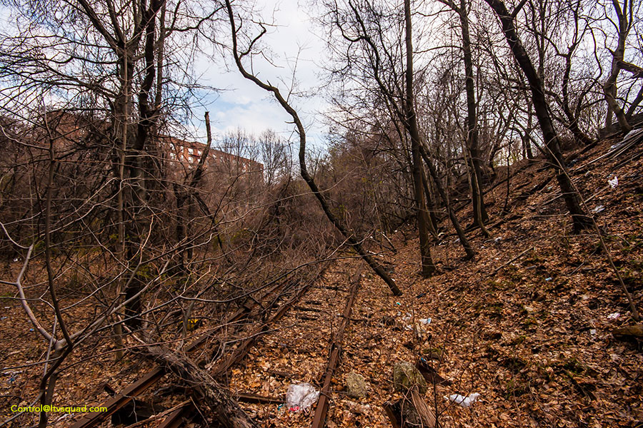
Located along the LIRR mainline through Queens, white pot junction was (and still is) a very well designed connection between the abandoned LIRR Rockaway Beach branch, and the LIRR tracks into Woodside, Penn station, and soon Grand Central Terminal.
The commute time from Ozone Park to Penn was a mere 32 minutes. From ‘Parkside’ (near Myrtle avenue) the ride was only 22 minutes. Today, a commute from Parkside requires a bus-to-subway transfer, and easily double the amount of time. A station that was located just west of this junction (Rego park), no longer exists today. This station removal means that thousands of commuters have no other choice but to take the much slower Queens Blvd subway.
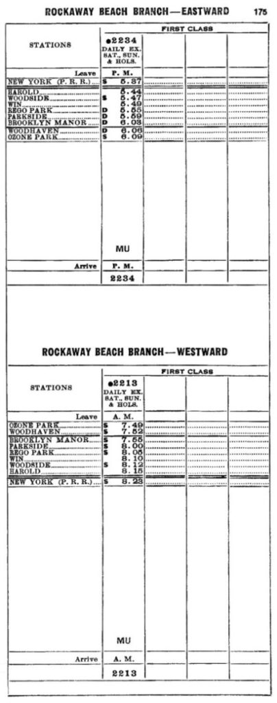
LIRR timetable just before the end of service. With one train in each direction, no wonder ridership never thrived. – timetable via Steve Lynch’s excellent LIRR history site
NYC, and Queens especially, has forgotten its transit history. As I write this, there is a group designing a park space to take over this once proud railroad right of way, and turn it into a not-at-all needed park. This is a colossal mistake. In a city projected to have a population of 9 million in just a few years, we need to start rebuilding every shred of unused transit infrastructure we can. If we don’t, we run the risk of having one of the worst transit systems in the United States – one that is fairly robust in routes, yet so crowded it is unusable during peak travel times.
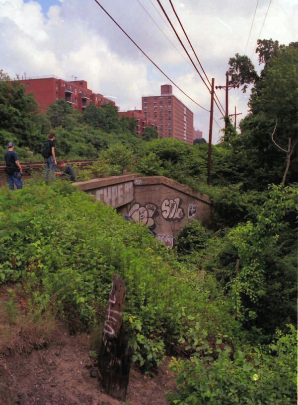
2001, looking east towards the underjump, with M, Seven, and Marcin, who passed a mere year after this photo was taken (RIP).
Adventure
I first came across this place in the early 1990s. At the time, metalheads would gather along the abandoned tracks and hang out on weekend nights. Through them I learned of the ‘abandoned tunnel’ by the LIRR tracks.
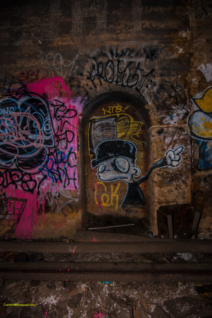
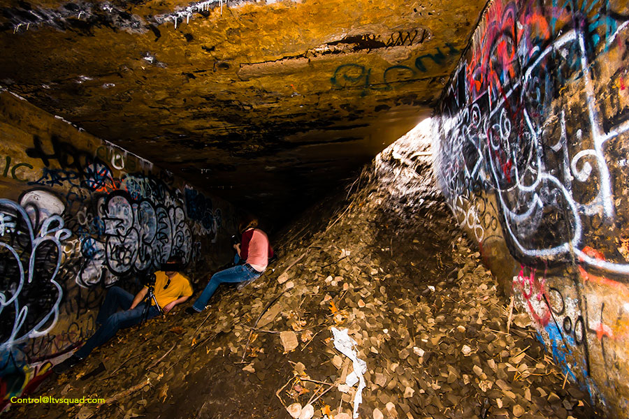
This tunnel, of course, isn’t much of a tunnel at all. in railroad words, it is an ‘underjump’ – where a track ducks under existing tracks so it lines up in the right direction (and doesn’t require switches across all of the tracks). This underjump was set up to allow northbound Rockaway beach branch trains to connect to the LIRR mainline with minimal switches on the mainline itself. (switches – the connection of two parallel tracks – can be bottlenecks for train traffic).
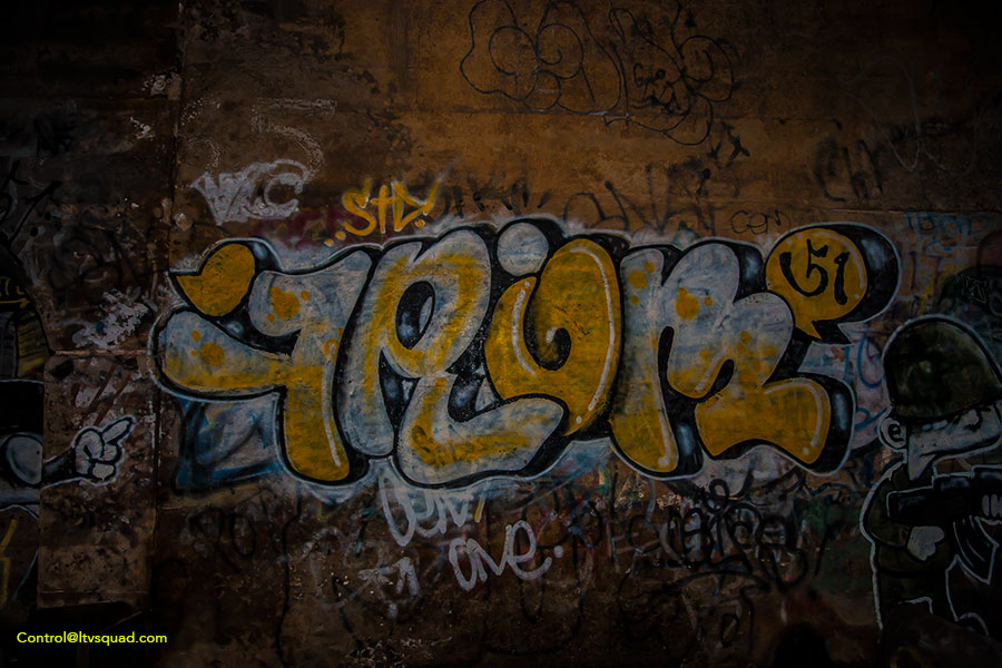
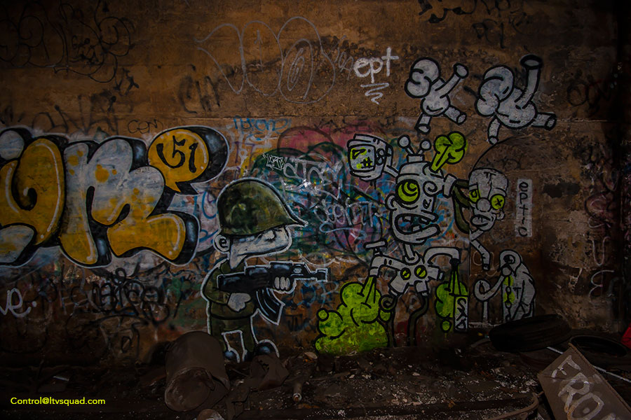
I took a few photos of the area on 35mm film back then, though scanning them all would take awhile. Instead, most of the photos posted here are a bit more modern, taken in 2009.
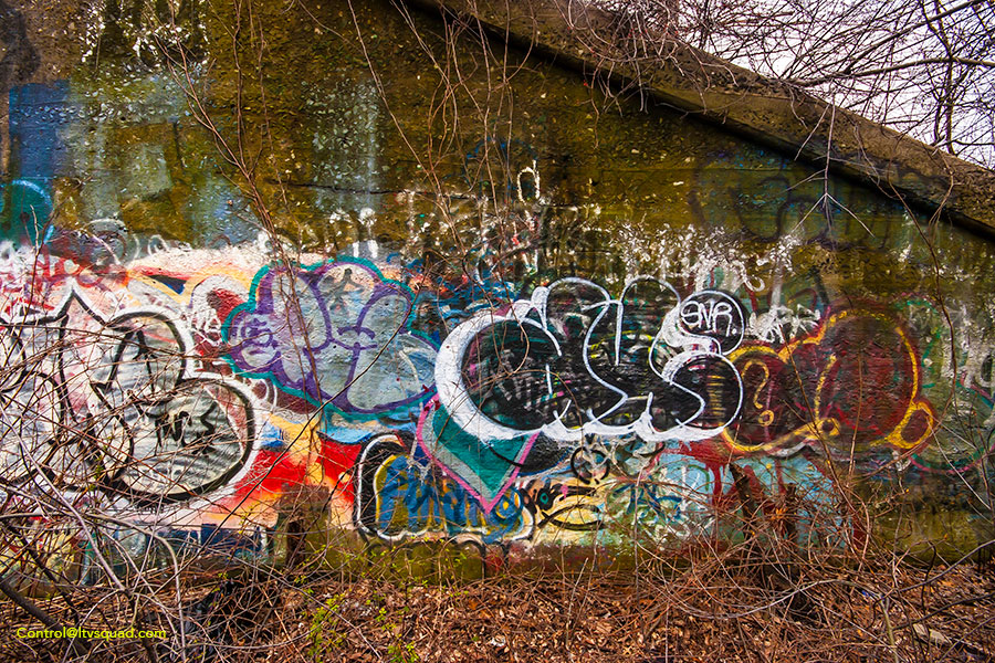
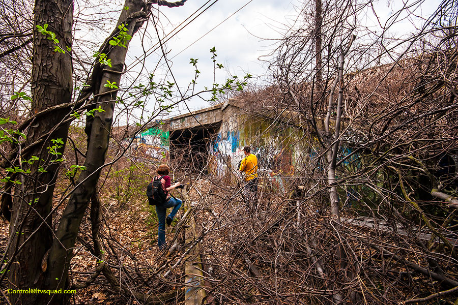
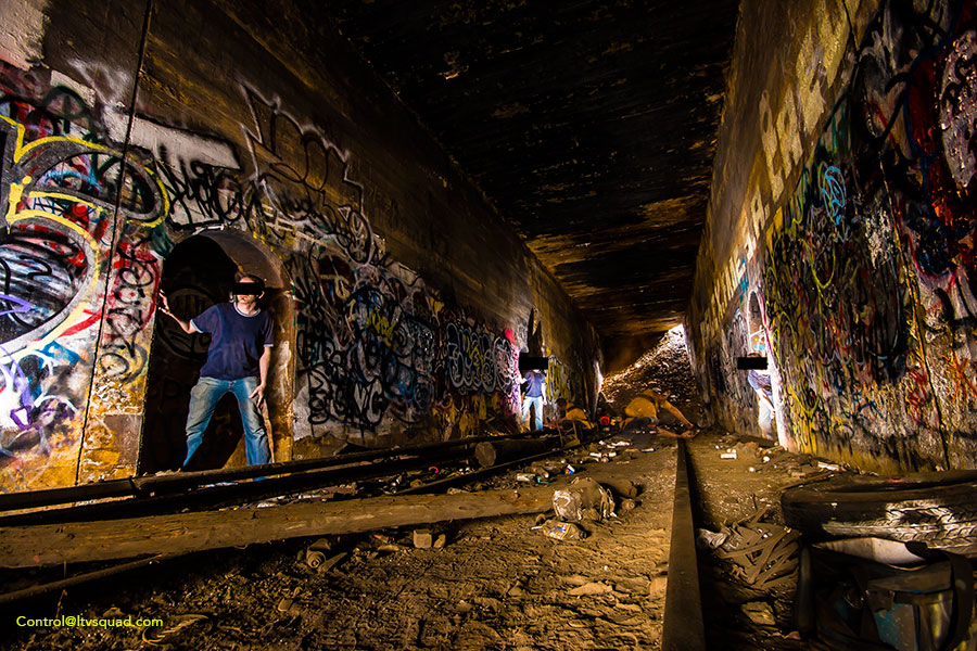
Current Conditions and Rehabilitation Costs
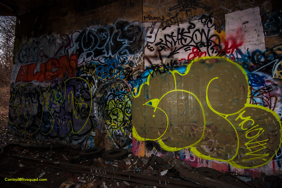
Today these tracks remain dormant. As seen in the photos above, the MTA attempted to seal off the north end of the underjump with a mound of fill.
To the south, the abandoned rockaway beach tracks are still intact, though the right of way is covered in trees. The tracks cross 3 overpasses (Fleet street, Yellowstone Blvd, and Metropolitan Avenue) before bisecting the LIRR/NY&A ‘Lower Montauk’ freight tracks at Glendale Junction. The distance end to end is a little under 1 mile.
The bridge over the Montauk branch was a wooden structure, which was burned and removed decades ago.
To reopen these tracks wouldn’t cost all that much. Ballpark $15-20M for the 4 overpasses, and $12M for the actual track. This comes in around 50-60 million to reopen this segment of track. Add in a station or two and you’re getting closer to $70-80M. That is an absolute bargain when compared to the recent 7 train extension, which runs 1.5 miles and cost taxpayers nearly 2.5 Billion (with a B) dollars.
If the city can afford to fund the 7 extension, there’s no excuse why we can’t get to work on the Rockaway Beach Branch. None.
Some will say these cost estimates are far too low – but they are based off real-world rail construction projects across america. The overpass replacement numbers come from similar MTA overpass replacement projects taking place around 2015-2016.
For more cost estimates and a look at the rest of this long neglected, abandoned route, check out these other detailed articles I’ve wrote: The tracks south of Glendale junction to Park Lane South, and from 99th Avenue to the junction with the ‘A’ subway line.
Updated Dec. 4, 2016: clarification & a typo or two…
Great read and great pics as always. Thanks!
Please promote the QueensRail and unite Queens and the region with more people and prosperity. Contact us at http://www.qptc.org.
This is a no brainer.There are existing trackagr already on place The outer boroughs continue to be neglected and disrespected
It’s going to be a greenway, a quick way for people to ride bikes to work.
You fucking provincial idiot.
Ride to work where? The mall?
Good luck with that.
Also your usage of the word ‘provincial’ is entirely invalid, much like the entire premise of ‘Queensway’.
Let’s fix what we have. It’s not working and the fares keep going up
Let’s fix what we have and add new routes because most major routes are overcapacity which is 100% not sustainable. Not adding new routes is in fact making the current infrastructure worse via over usage. We really don’t have a choice in this situation.
This rockaway branch has only one purpose and that is JFK. Run airtain trains from the airport and connect to the Steinway tunnel or via a new tunnel to grand central and penn station. Or connect with Atlantic ave and run to lower manhattan via the underused r tunnel. Or is it the n tunnel. Not using airtain cars means you still have to transfer.
I went to elementary school in the 1970’s near the abandoned tracks and the Whitepot underjump. We used to play there all the time. I distinctly remember when the underjump tunnel was completely clear from one end to the other.
I was born in 1942 and lived in Rego Park near the Whitepot Underjump. I remember sitting on the hill above the tracks watching the trains heading toward Rockaway Beach and returning from Rockaway towards Manhattan. What a different world then.